Telling Stories through Maps
An innovative colloquium teaches students to take a critical approach to maps
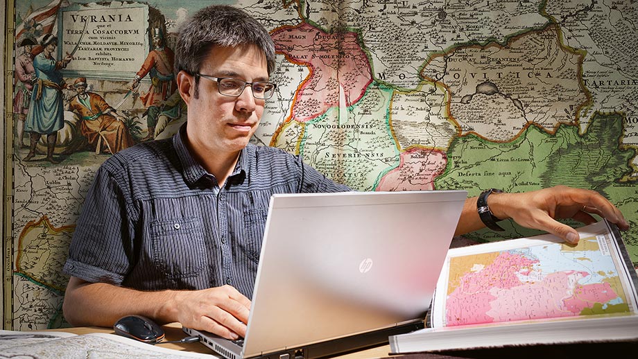
Aspiring historians must learn to critically appraise the sources of a map. Daniel Ursprung, an academic associate at UZH’s Division for Eastern European History, teaches students how to deal with maps and charts in a project supported by the Teaching Fund. “Historical atlases, as valuable as they are, can often be misleading,” he says. He aims to raise awareness among students for the reality that is depicted in maps. The historian’s project “Storytelling with Maps: Vom Geschichtsatlas zur Webkarte” is based on the idea that the best way to learn about dealing with maps is by drawing them themselves. “It requires students to develop a sense of space,” he says. Maps are models that contain a highly abstract idea of reality. Anyone who has ever attempted to draw a map using historical data will know how tricky this can be. One of the main challenges is modelling data and dealing with vagueness, for example when it comes to descriptions of places such as “near the river” or “behind the hill”. The project is based on working with a geographic information system. Students use the open-source software QGIS to practice the basics of cartography, with the aim of independently developing simple maps. Two of the main challenges are mapping the passage of time or translating narrative strategies into representations on maps.